- New alliances
A critical exploration of the ‘smart city’ in a European and North American context. The full 'urban' data set (CCTV footage, mobility data etc) of one individual over a 24 hour period will be gathered and then visualised in a composite 24 hour film and accompanying graphics, bringing this data together in a form that allows the scale and implications of this data set to be understood and interrogated.
There is relatively little architectural critique of this subject to date, with smart city discourse being driven by cities wishing to use data for more efficient management of services or to promote a growing ecosystem of technology businesses, or by the technology companies which build and sell the systems and increasingly, wish to build neighbourhoods from scratch. How are ideas about privacy, security, risk and reward currently conceived by the various stakeholders, including the individual citizen? What other ways can we imagine for thinking about cities and data?

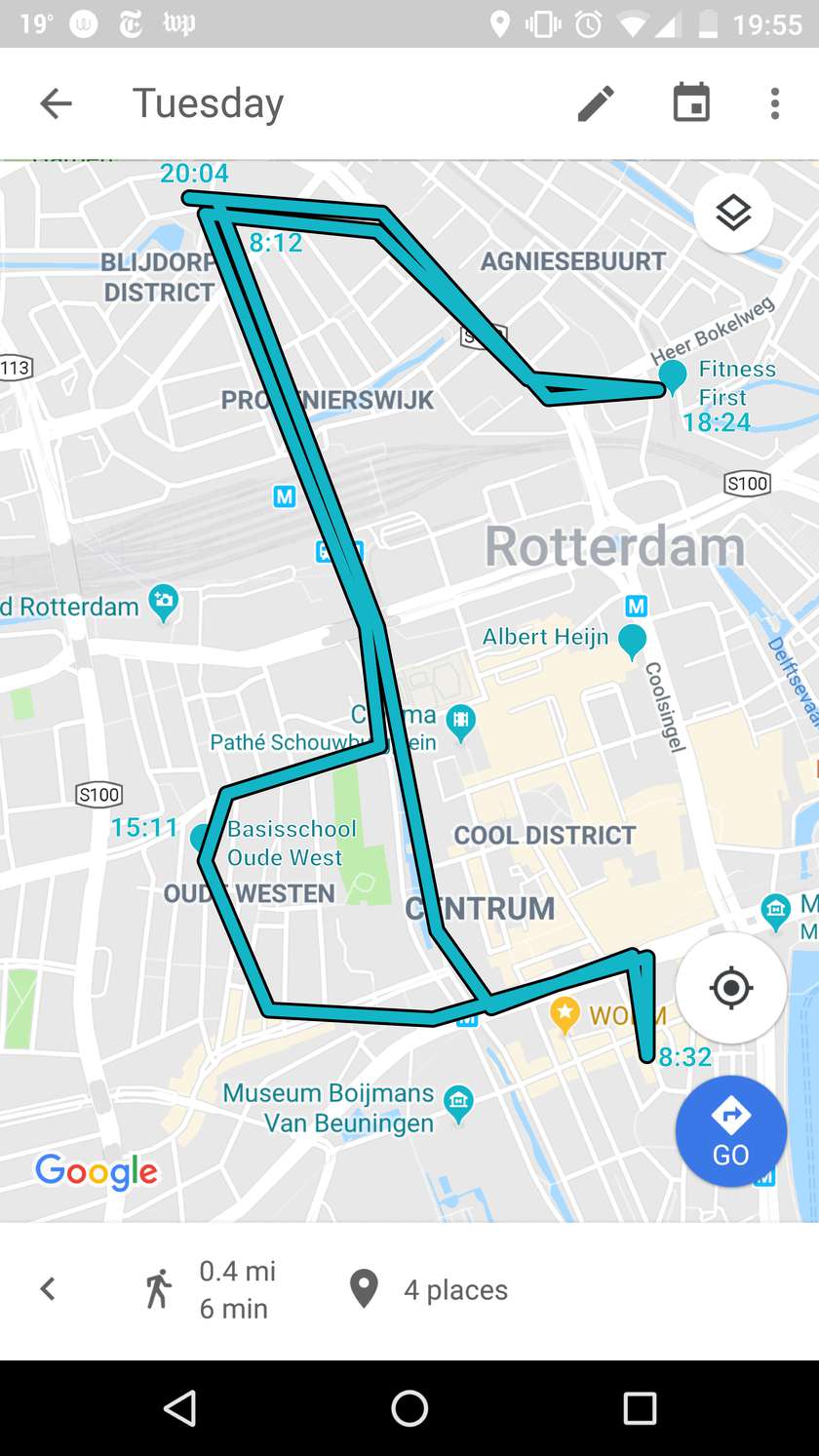
Google location history. Location data is an incredibly rich source of insight into an individual's life, with only a small amount able to reveal where that person likely lives and works, where they shop, how they travel, what they do in their free time and who they spend it with.
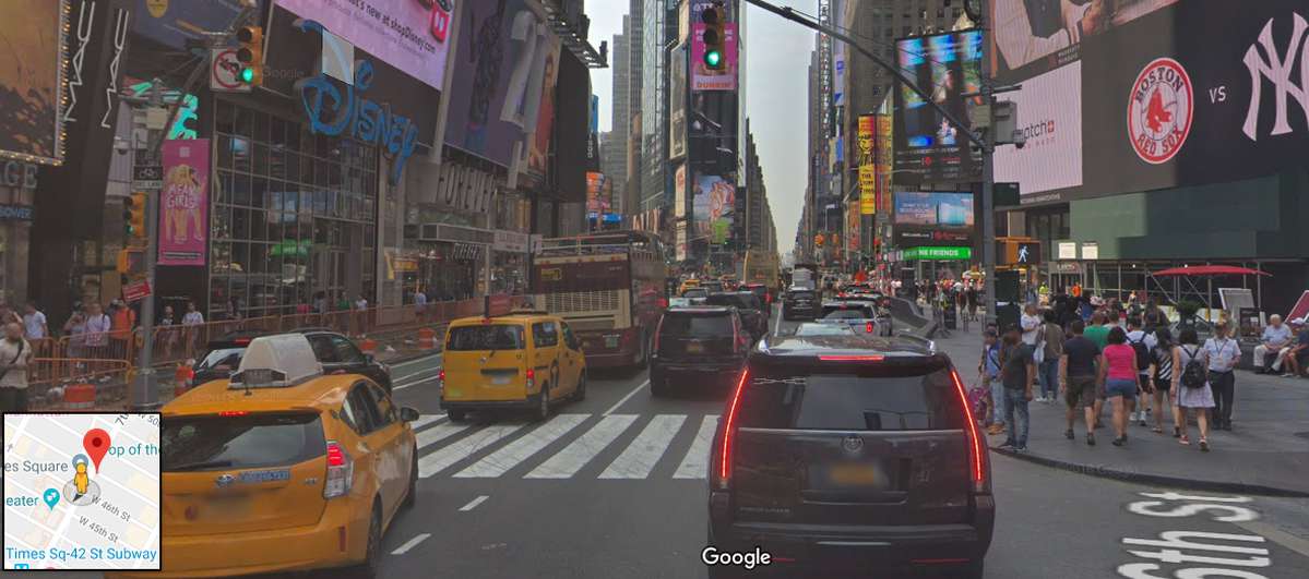
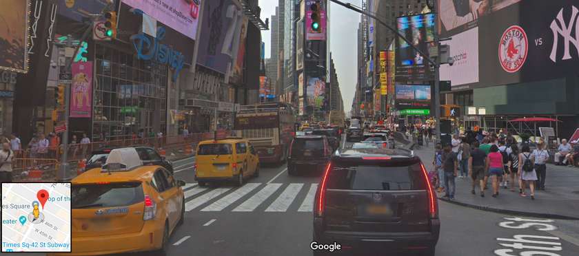
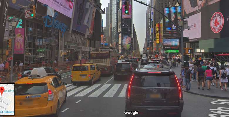
Google Street View scene. Large amounts of imagery is captured in public spaces, such as that from CCTV, automatic number plate recognition and even individuals' publicly available social media posts. This is a rich data source in itself, becoming even more so when it is cross-referenced with other data sets.
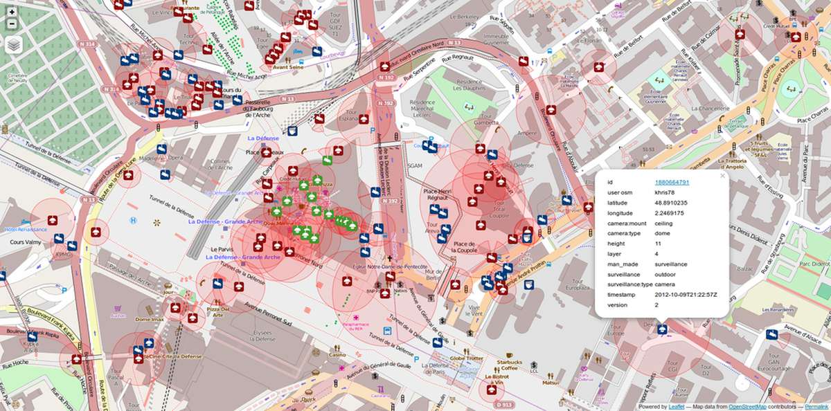
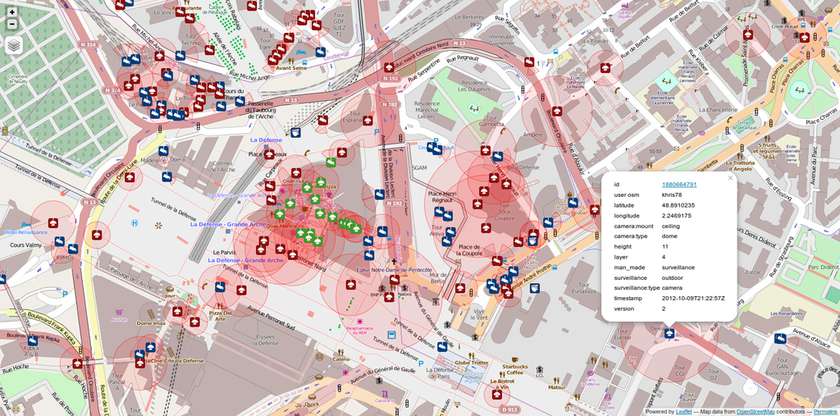
A crowdsourced map of CCTV cameras near La Defense, Paris, France.

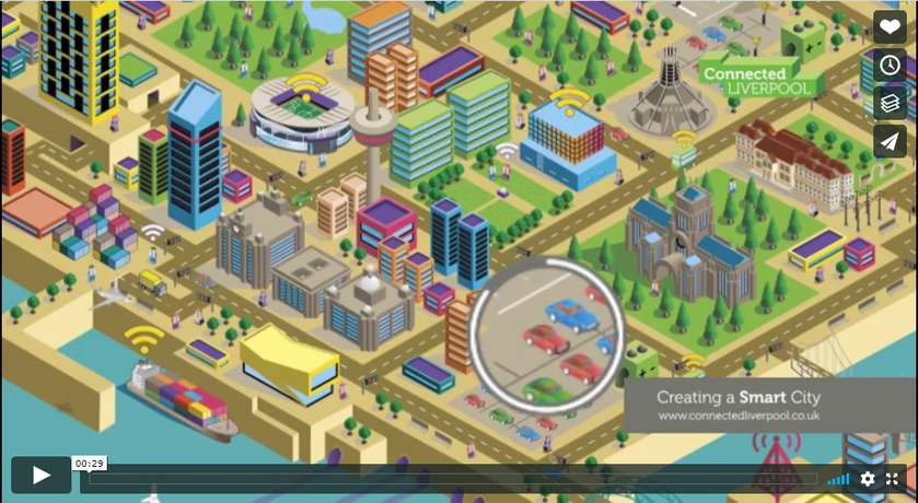
Graphics from a video promoting Liverpool in the UK as a 'smart', connected city illustrate some of the ways that cities aim to put data to use, as well as showing the common cartoon-style used to describe smart city infrastructure.

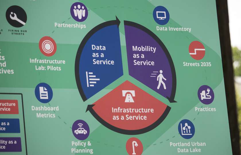
A dashboard showing traffic data from sensors newly installed in Portland, Oregon, US.