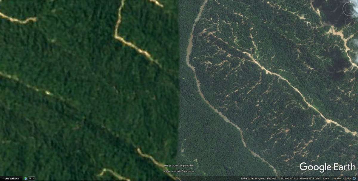
The Google Earth algorithm is a constantly evolving system. Its database’s updates provide an ever-clearer view of the Earth’s surface, however, there are still dissonant spots. Momentary interferences in the connection between satellites and terrestrial receivers, errors in the process of mapping a flat image over a virtual topography or the censoring action of many states on certain points of their geographical representation give rise to new territorial typologies.
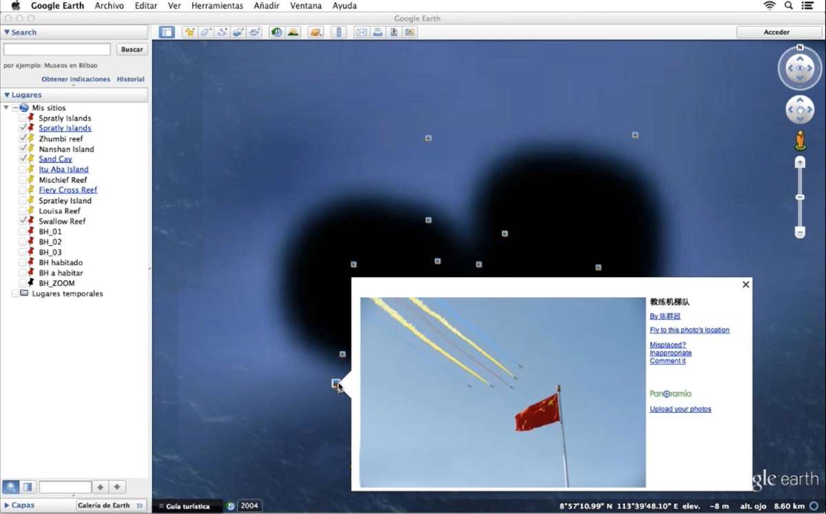
Google, Panoramio, Wikipedia... provide new ways of occupying and inhabiting indefinite locations through techniques of collective appropriation.
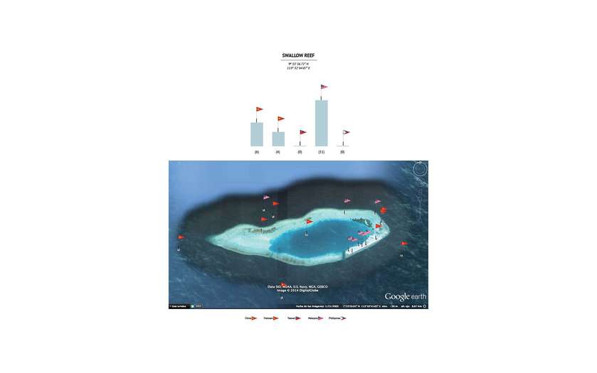
Present geopolitical tensions such us the South China Sea conflict, mainly based on the struggle for control over raw materials, enlighten open gaps for interpretation by means of these new representation techniques. Virtual borders offer new arguments for the real-world conquest.
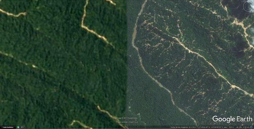
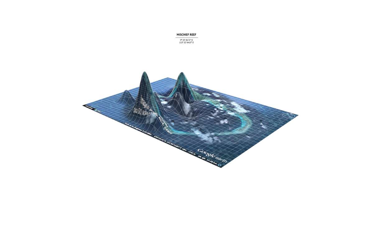
Google Earth shows us an instantaneous version of reality, that evolves as its database grows. The system configures its level of definition depending on the strategic interests that it may reveal, meaning Google Earth displays a reality of disparate resolutions. This generates areas of uncertainty, which open up a wide range of possible interpretations.
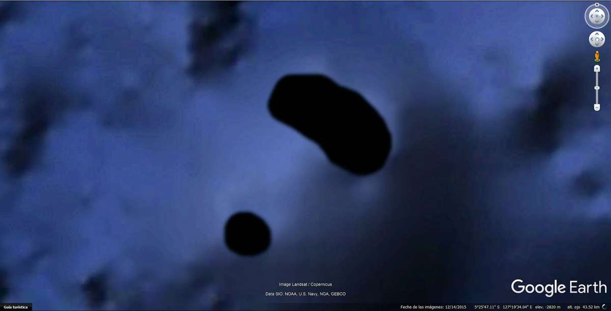
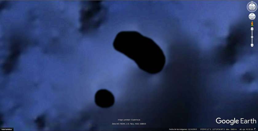
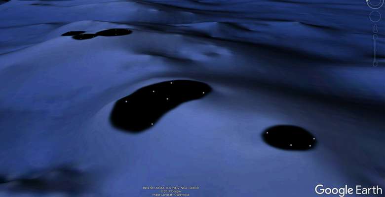
According to the United Nations Convention on the Law of the Sea, an island is a natural extension of land surrounded by water. Blalck islands are a series of errors manifested in Google Earth’s surface through black spots; Virtual voids. Virtual devices enable the possibility of transforming random failures into new territory.

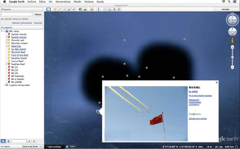
Virtual occupation relies on Virtual Reality’s bases in order to impact Real Life. Representation systems undergo a disruption in its meaning, turning Google Earth into a battlefield, Wikipedia into an historical narrator and Panoramio into the equivalent of raising a flag in a territory in dispute. Consequently, we can review a political conflict through geotagged information. The collection of images claim through the caption of the photography the sovereignty of the territory.
The result of this new way of occupation is a distortion of our geographic representation systems, now altered by geotagged information with a determined geographic position and a political repercussion.
The successful occupation of a space depends on the settler’s capacity to react to the context in which they are. Each place requires specific techniques of settlement, adapted to the environment. But, how to inhabit a void whose characteristics we ignore?